AI-Based Highway Monitoring
Ensuring the safe, resilient and uninterrupted operation of highways is one of the core priorities of modern transport infrastructure. iTech Group digitizes highway monitoring with drone technologies, high-precision imaging systems and AI-based analytics — making infrastructure management faster, more accurate and more efficient.
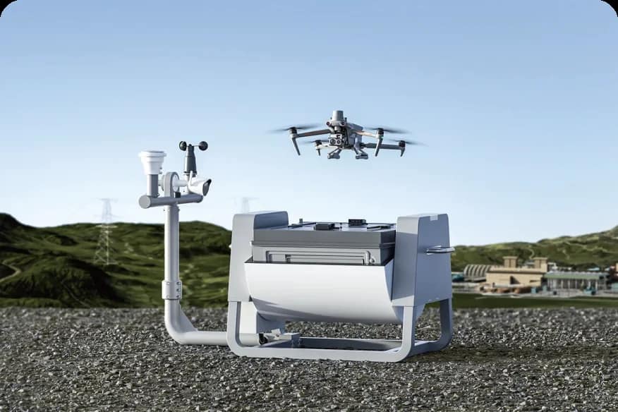
Within the solution, drones scan extensive road networks in a short time with high-resolution photo and video material, and the collected data is processed automatically by artificial-intelligence algorithms. The system detects with high precision cracks, subsidence and deformation in the asphalt surface, the condition of road signs and lane markings, the structural elements of bridges and overpasses, drainage systems, slopes and changes in other engineering structures. At the same time, tracking the progress of construction and reconstruction projects, assessing conformity of the works to the design and preparing stage-by-stage reports are also carried out automatically.
Geospatial data and analytical results obtained in real time make it possible to objectively assess the current condition of the infrastructure, detect potential risks at an early stage and plan maintenance measures proactively. This approach makes a significant contribution to preventing unplanned failures, optimizing operating costs and increasing the reliability of the road network.
The platform integrates with GIS, Digital Twin, BIM and other infrastructure-management systems, ensuring that all monitoring data is collected, visualized and analyzed in a single environment. As a result, the relevant authorities can track the condition of the road infrastructure through interactive maps, analytical dashboards and automatically generated reports, optimize the allocation of resources and make data-driven strategic decisions.
Compared with traditional inspection methods, the drone-based monitoring solution offers higher responsiveness, wider territorial coverage, minimal human intervention and higher data accuracy. This technology accelerates the digital transformation of transport infrastructure — serving to increase highway safety, manage assets efficiently and build a sustainable road-management ecosystem.



Benefits
Higher responsiveness than traditional inspections
Wide territorial coverage
Minimal human intervention
Higher data accuracy
Proactive maintenance planning
Optimized operating costs
Technologies
Our Strategic Technology Partners




































Let's deliver your next project together
Share your project requirements with us. Our specialists will assess the solutions that fit your needs and get back to you shortly.
- Initial response within 1 business day
- Your data kept confidential
- Initial consultation and assessment